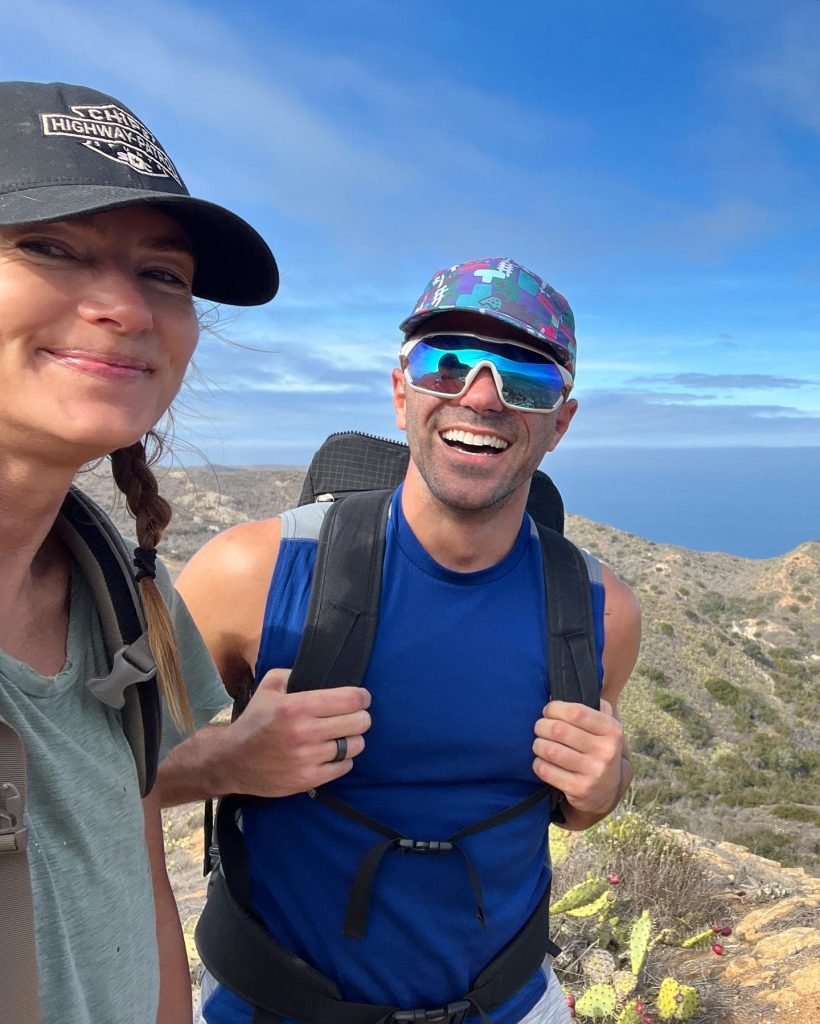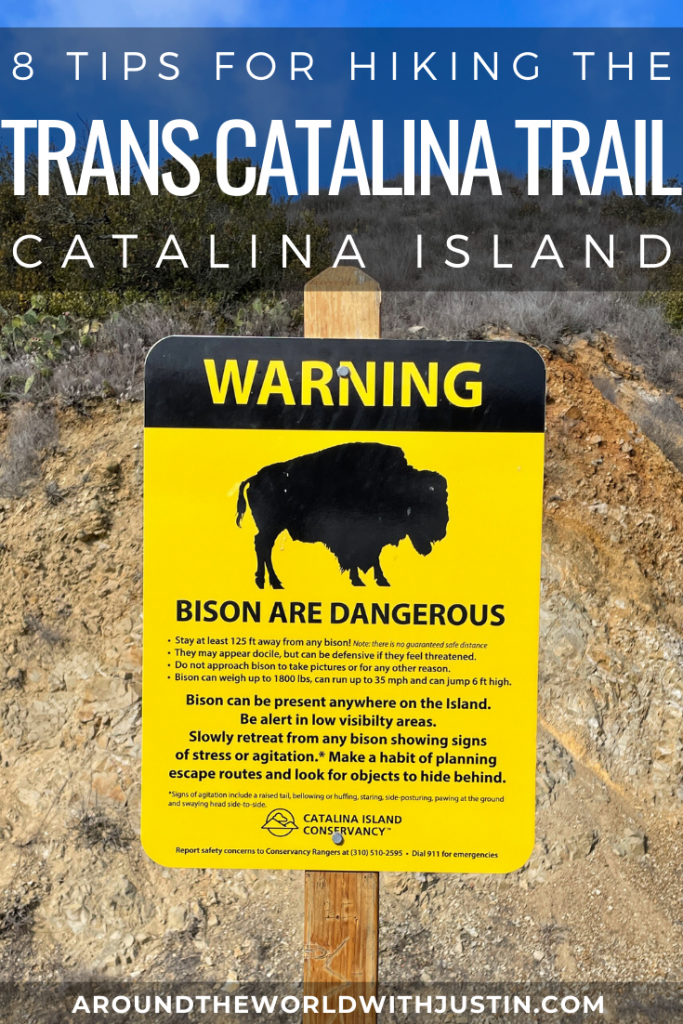
Recently I hiked the Trans Catalina Trail and shared my tips on KTLA News. I wanted to follow up with a concise travel guide including helpful links, tips and information for anyone interested in hiking it.
1. WHAT IS THE TRANS CATALINA TRAIL?

Catalina Island is located roughly 30 miles off the coast of California southwest from Long Beach. The island itself is 22 miles long and at most 8 miles wide. Previously, I shared 6 Adventurous Things to Do In Catalina Island, but by far, the most adventurous and rugged thing to do is hiking the Trans Catalina Trail.


The Trans Catalina Trail is 38.5 miles of hiking trails that go through the interior and along the coast of Catalina Island. Along the route hikers are taken through the island’s rugged interior, along its dramatic coastlines and to pristine beaches and campsites. I was fortunate enough to hike with my EXPLORE THIS co-host and adventure partner in crime Kinga Philipps. Collectively the both of us have traveled and hiked all around the world. We agree that hiking the Trans Catalina Trail in our own backyard of Southern California is now one of our all-time favorite hiking adventures.


2. TAKE THE CATALINA EXPRESS FERRY

The most common way to get to Catalina Island and to the start of the Trans Catalina Trail is by the Catalina Express. With three departure spots – Long Beach, San Pedro or Dana Point – this ferry takes passengers to either Avalon or Two Harbors in Catalina. One way General Seating costs $38 per person each way and Commodore Lounge access costs $58 per person each way. Commodore Lounge tickets provide priority check-in and boarding, a more intimate upper lounge and a complimentary beverage and snacks.


Whether you take the Catalina Express to Avalon or Two Harbors is going to depend on the itinerary you choose for hiking the Trans Catalina Trail. It’s possible to do the trail starting at either Avalon or Two Harbors. See my tip #7 below for what I suggest as the best itinerary.


3) FLY IEX HELICOPTERS

An alternative option for getting to and from Catalina Island is by flying with IEX Helicopters! You can take flights from Long Beach, San Pedro, Orange County or Burbank. One way prices start at $159 per person from Long Beach and increase the further the departure city is from Catalina.


IEX Helicopters also offers a “Heli-Hiking ” experience which provides passengers their own Bear Grylls-style adventure. The chopper drops off hikers on a remote part of Catalina Island and then they have to hike back to “civilization.” From Avalon, pricing starts at $249 per person (minimum 2) and $149 per additional person on the reservation and increases if you depart from Long Beach, Orange County or Santa Monica.


4. BEST WAY TO DO THE TRANS CATALINA TRAIL

The primary way to do the TCT is by hiking and camping. Luckily, that’s also the best way! The trail can be done by either starting in Avalon and heading north towards Two Harbors (and Parsons Landing) or by starting at Two Harbors (with the optional Parsons Landing loop) and then heading south to Avalon. Hikers must bring their own gear including tents, cookware, food, water, clothing, toiletries and personal items. All campsites provide potable drinking water except for Parsons Landing.


5. HIRE CATALINA BACKCOUNTRY

If you don’t want to carry all of your gear, I highly recommend hiring Catalina Backcountry! This family-owned small business, run by a daughter and her mother-in-law, was an unexpected treat! Catalina Backcountry also offers gear haul services where they transport all of your supplies from campsite to campsite. In addition to that, you can opt for them to set up your campsite so when you arrive after hiking, everything is already set up for you. Kinga and I opted for the latter and were so happy we did. I’m used to carrying all of my own gear on hikes so using Catalina Backcountry is a game changer. It allowed us to focus our energy on enjoying the beautiful scenery and each other’s company rather than carrying all of our heavy gear.


6. BOOK CAMPSITES IN ADVANCE

There are 5 campsites along the Trans Catalina Trail and they book up fast, so make sure to plan your trip in advance! Reserving campsites can be done through Catalina Island Company. I suggest going during shoulder season to avoid high summer temperatures and heat. Hiking during the Fall or Spring will likely provide low 70s or high to mid 60s weather, which is perfect for hiking. We hiked the first week of November and had incredible hiking weather.


7. SUGGESTED ITINERARY

I highly recommend starting the Trans Catalina Trail in Avalon. Our route took us from Avalon to Blackjack to Little Harbor to Two Harbors. From thre you can add the optional Parsons Landing loop. I believe hiking from Avalon to Two Harbors is the best route because the hike from Little Harbor to Two Harbors (on our Day 3) is the best part of the trail! I always prefer to “save the best for last” so I’m always hiking and building toward something big. This route provided an epic last day! We did not hike the Parsons Landing loop above Two Harbors (yet), but we were told it can be strenuous, so if you plan on doing that, I think it’s best to do it toward the end instead of at the beginning. Below is my suggested itinerary:
- DAY 1 – Avalon to Blackjack (roughly 10 miles)
- DAY 2 – Blackjack to Little Harbor (roughly 9 miles)
- DAY 3 – Little Harbor to Two Harbors (roughly 5 miles)
- DAY 4 – Two Harbors to Home
ALT DAY 4 – Two Harbors to Parsons Landing (roughly 8 miles) - ALT DAY 5 – Parsons Landing to Two Harbors/Home (roughly 7 miles)
FIRST DAY – Avalon to Blackjack (roughly 10 miles)


SECOND DAY – Blackjack to Little Harbor (roughly 9 miles)


THIRD DAY – Little Harbor to Two Harbors (roughly 5 miles)

FOURTH DAY – Two Harbors to Home
ALT DAY 4 – Two Harbors to Parsons Landing (roughly 8 miles)


8. HIKE THE CAT HARBOR OVERLOOK


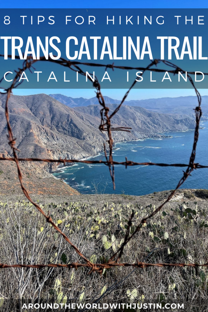
Detour! When you hike from Little Harbor to Two Harbor (or vice versa) go off the Trans Catalina Trail for a little bit and hike the Cat Harbor Overlook trail. This little detour offers some of the best views of Catalina Island! A large portion of it is also lined with a barbed wire fence that has art woven into it. The entrance to the trail is well marked on any TCT map (GPS coordinates 33.4289925, – 118.4880715).


Psst – did you find this post informative? Useful? Inspiring? Save it for later on Pinterest!


